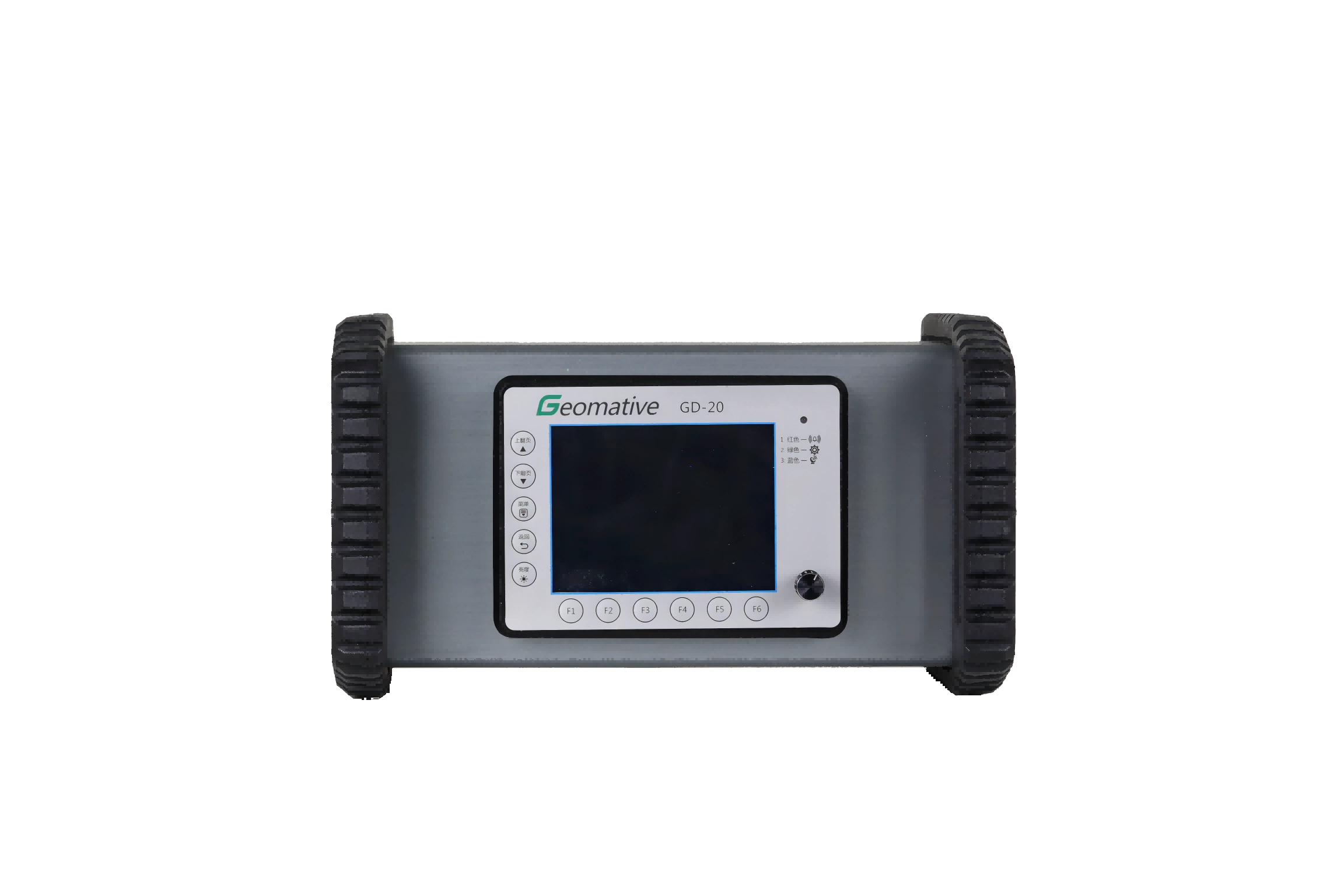
The GT-20 Tunnel model of the transient electromagnetic instrument is a transient electromagnetic instrument device developed and produced by Geomative Dikode Co.,Ltd. This model is mainly applied in scenarios such as water-rich areas, karst, and fractured zones of tunnels
Small in size, light in weight and convenient for construction. It adopts an integrated design, combining the receiver, transmitter and amplifier into one, which is convenient for carrying and installation.
High performance and low power consumption, with an industrial control computer as the core controller, not only improve performance but also reduce power consumption.
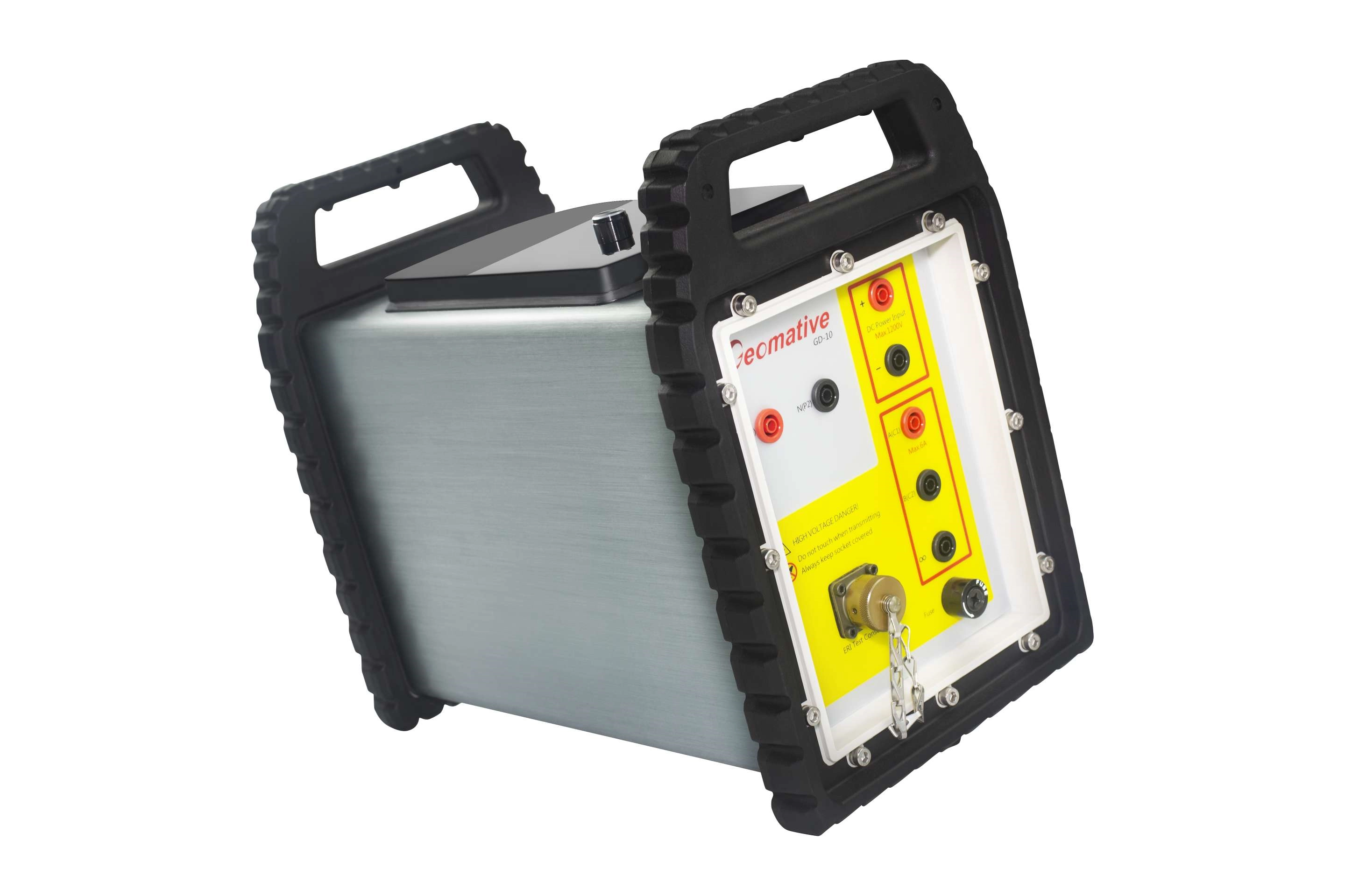
The only small-coil, high-power transient electromagnetic detection equipment used in domestic tunnels, with a transmission current of up to 120A, maximizes the detection accuracy.
The on-site conditions are relatively simple. Construction can also be carried out when large ironware, supports and drilling RIGS at the face need to be moved, there is water accumulation on the ground at the front, or the water output is large and needs to be pumped out by a water pump.
The data processing speed is fast. Generally, geophysical exploration data can be submitted within half a working day after the on-site construction is completed. Combined with geological conditions, analysis can be conducted to predict and forecast possible water-rich areas and guide drilling verification.
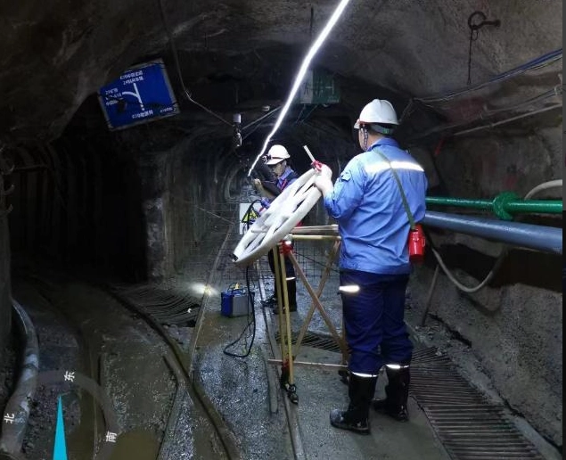
The GT-20 transient electromagnetic instrument is mainly applied in tunnel advanced exploration. The application scenarios are generally to arrange three survey lines along the roadway (in three directions: upward 45°, along the layer direction, and downward 45°). By moving the transmitting/receiving coils at the face, three measured profiles for advanced exploration are formed.
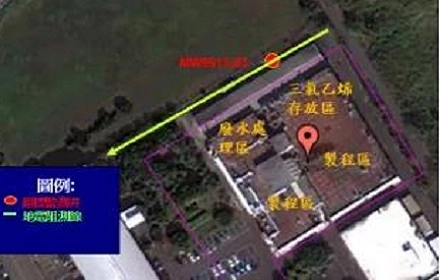
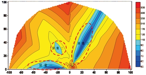
Explanation: With the increase of mining years and mining depth, the hydrogeological conditions of this mine have become increasingly complex, and it belongs to a mine with complex hydrogeological disasters. The water hazard threat of this mine mainly comes from two aspects. One is the water accumulation and mined-out area formed after the completion of small-scale phosphate mining in the surrounding area. The other is that the topographic and geomorphic conditions around the mine are relatively complex, and the water-rich structure is very obvious. The blue low-resistance abnormal area circled in the right figure is presumed to be the waterlogged goaf area and the structural water-rich area.
| Project | Parameters |
| Transmission voltage (V) | 36-57 |
| Sending current intensity (A) | 25、50、100、200 |
| Current pulse width (ms) | 10、20、40 |
| Transmitting waveform | A bipolar square wave with a duty cycle of 1:1 |
| Maximum transmission power (KW) | 12 |
| Synchronization mode | Cable synchronization |
| Turn-off time | It varies with the magnitude of the power supply current and the sending coil, ranging from 0.5 to 300μs |
| Size | 312mm×274mm×136mm (length × width × height) |
| Weight | 2kg |
| Working temperature | -10℃-50℃ |

Company *
Your phone*
Your name*
Email*
country*
Leave a message*